SENSOR SERVICES

3D Imagery
3D Imagery
Using node-specified flight plans, Aerochester capture and produce point cloud models for creating 3D calibrated representations of buildings, landscapes and other features, enabling accurate data to facilitate project planning.

Gas Sensing
Gas Sensing
Our gas sensors can be adapted into intelligent payload systems. In line with user requirements, we gather atmospheric data in the differing physical environments in which they are required.

Infra-Red and Multi-Spectral
Infra-Red and Multi-Spectral
Using Thermal IR and Near infrared Spectrum cameras we are able to capture rich-picture data in complex environments. Combined with our high-resolution visual range sensors this enables data capture for energy management and structural analysis as well as plant health analysis and wildlife data gathering.

Data Post-Processing
Data Post-Processing
Using a variety of industry standard software, and our talented academic experts, Aerochester are able to offer a range of detailed post-processing activities to meet user requirements.Equipment Platforms
At Aerochester we support airborne data capture via a number of platforms:
DJI Matrice 600
Heavy lift platform for Surveys & Environmental Monitoring using multiple payloads
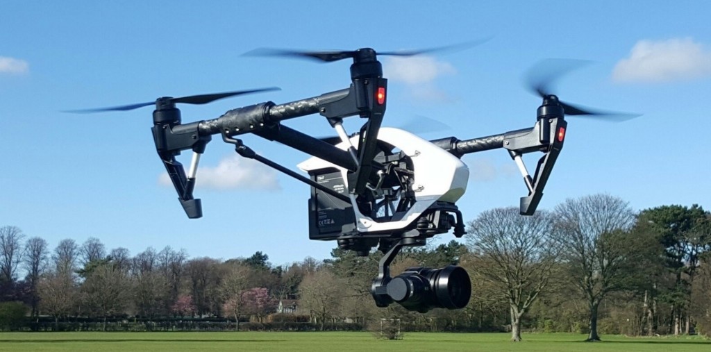
DJI Inspire Pro
Professional photographic imagery & 3D model generation

DJI Phantom 3 Professional
Configurable for RGB imagery & NIR plant health analysis

DJI Phantom with FLIR Radiometry
Thermal IR Data Capture and Sensor Prototyping

Parrot Bebop
New pilot training with basic photography capability